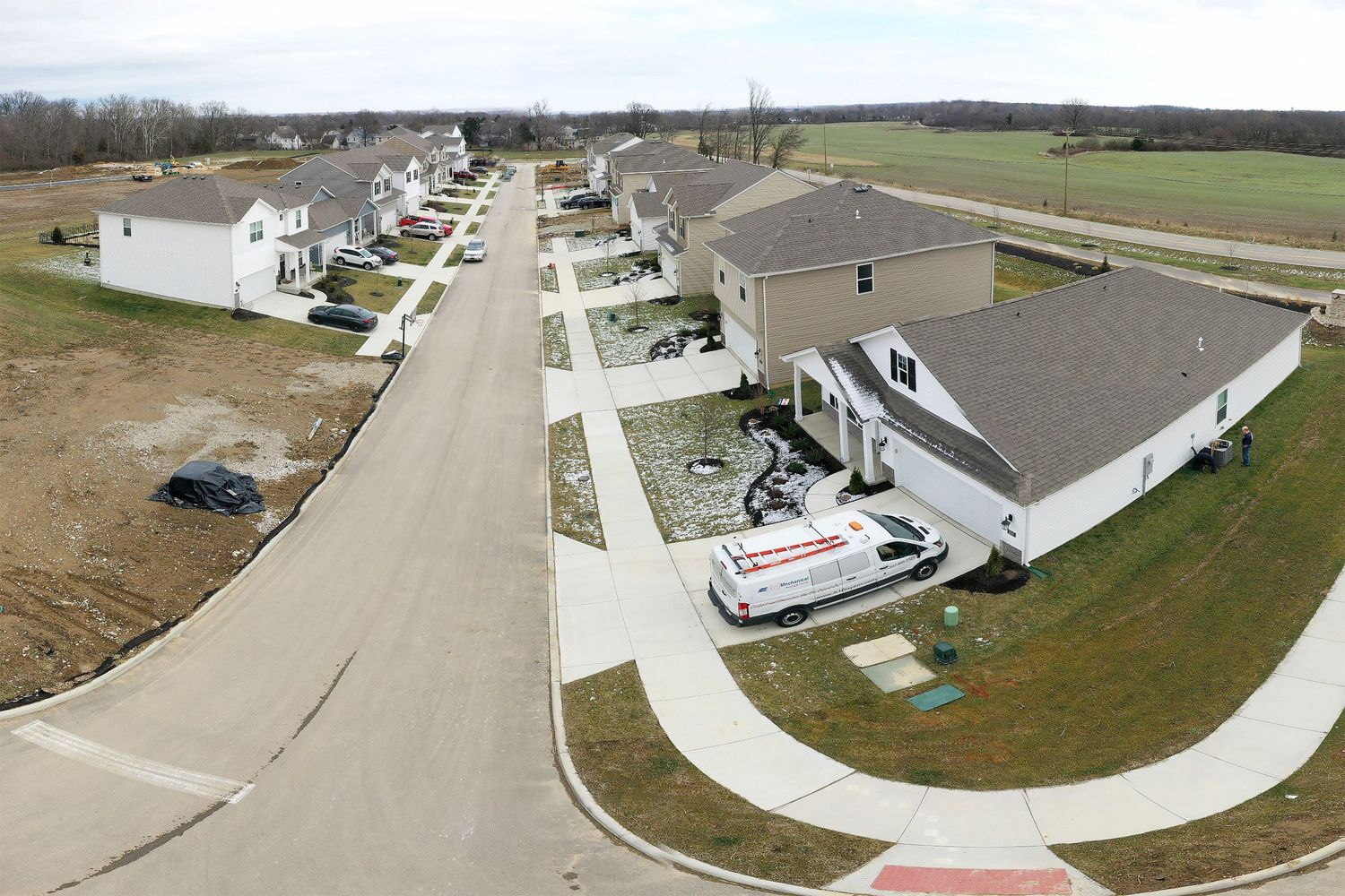
Construction Progression monitoring on the DR Horton, American Builder custom homes, Owls' Landing project, in Oxford, Ohio.
These progression videos, 3d models, 360º Panoramic photos and Orthomosaic maps are generally used by property developers, real estate agents, and investors to stay updated with the progress of a construction project and share updates with stakeholders. Construction progression data can help to build trust and transparency with investors, generate interest in a project, and can also be used for social media and marketing purposes.
Video Progression Updates
Several galleries of video clips separated by date and location
View a collection of video flyovers that are customized to your site map. We plan the flights together, developing waypoints and paths in a 2-step process with your site plans before any work even starts. If requested, during my visit to the site, a new video flyover can be captured with the same path. For ease of use, these videos are organized in galleries by date and location.
Still Photo Progression Updates
Multiple galleries of photos categorized by capture date.
Vantage points over time, like an eagle watching over a hillside, allow us to create organized views of your site. Each project will be categorized for simple identification. Locations and views can be customized to your preference and revisited each visit to monitor changes and progression of the site.
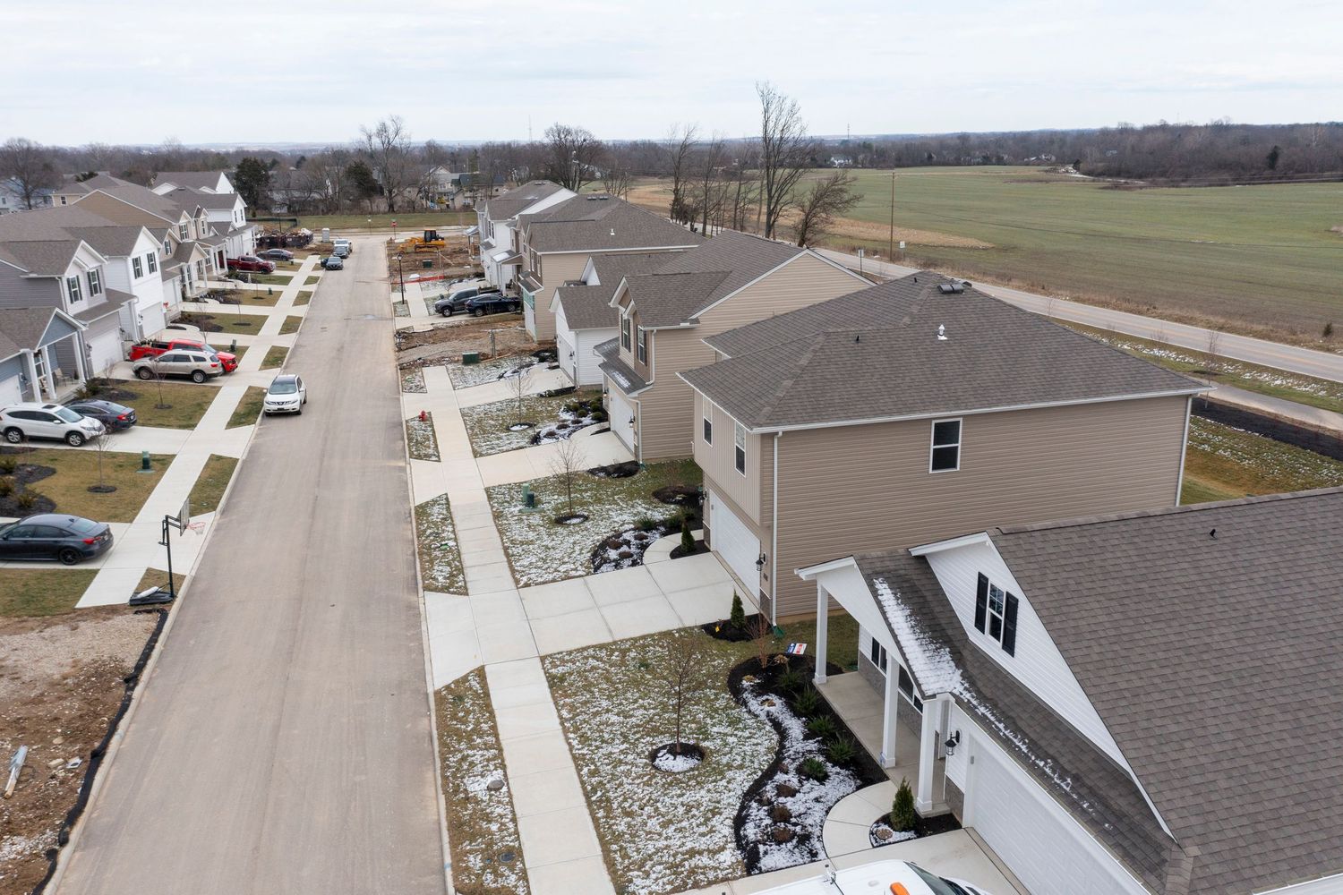
Still Photos December 23, 2024
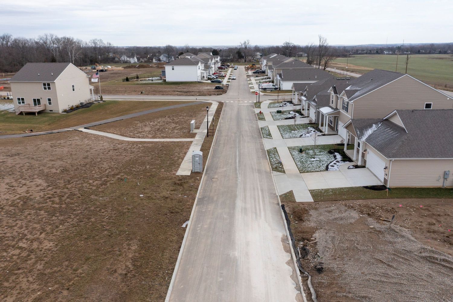
Still Photos May 12, 2024
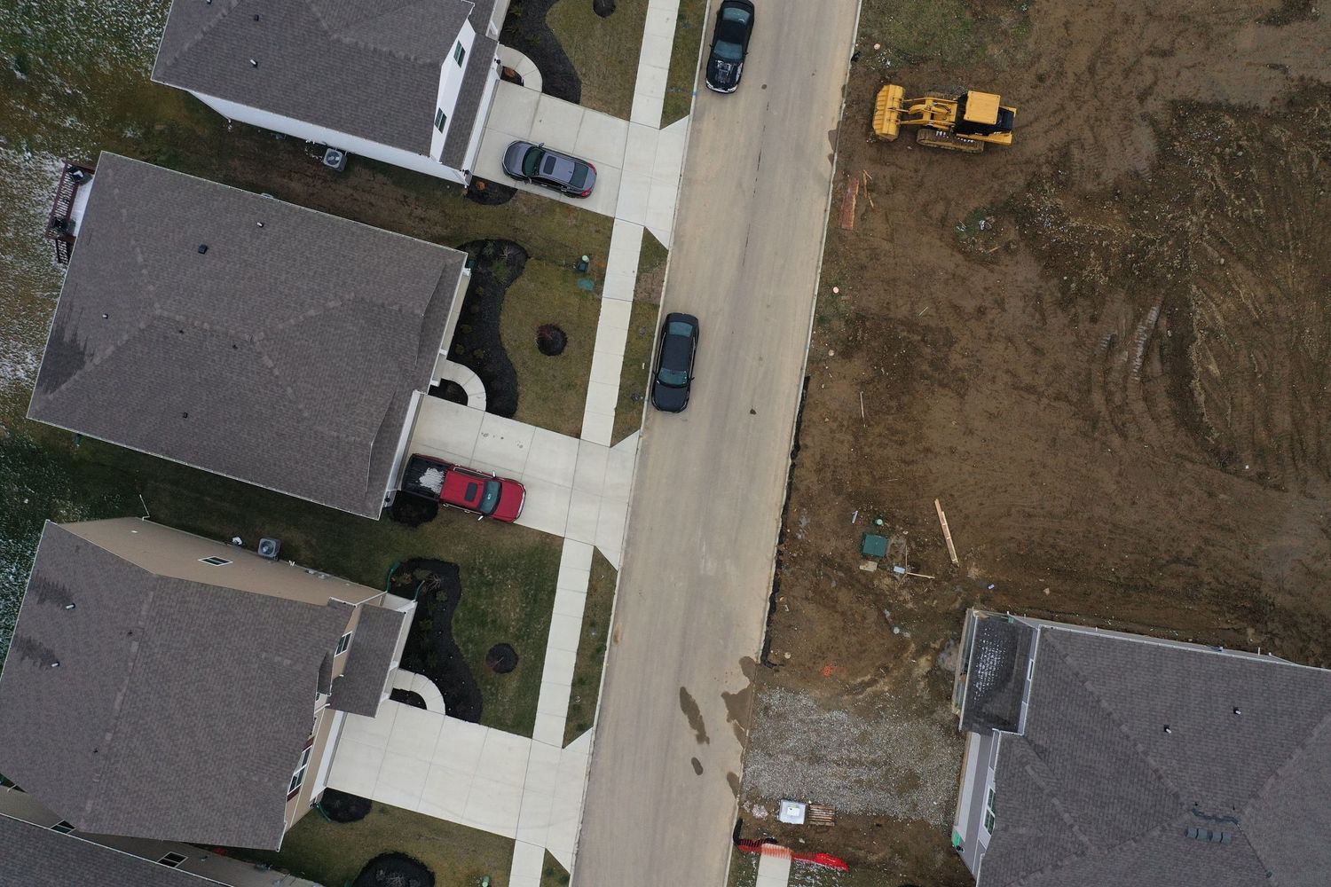
Still Photos March 12, 2025
What is an Orthomosaic Map?
Put simply, an Orthomosaic Map is like Google Earth, but with super high-quality resolution, as it is actually a large image made by combining many smaller images created by our drone overhead.
One of the main use cases for an orthomosaic is simply to get an updated view of a large area of land. Google Earth is helpful, but often the imagery is outdated. Your new development project could be finished, new construction projects could be underway, or as landscape could have changed from the beginning.
Real estate agents may also want an updated ortho view to see if it is a good fit for their needs. Whatever the reason is, orthomosaics are the best way to combine aerial images for an updated view of your project.
Short clip for time progression of satellite images to our drones image December 2024.
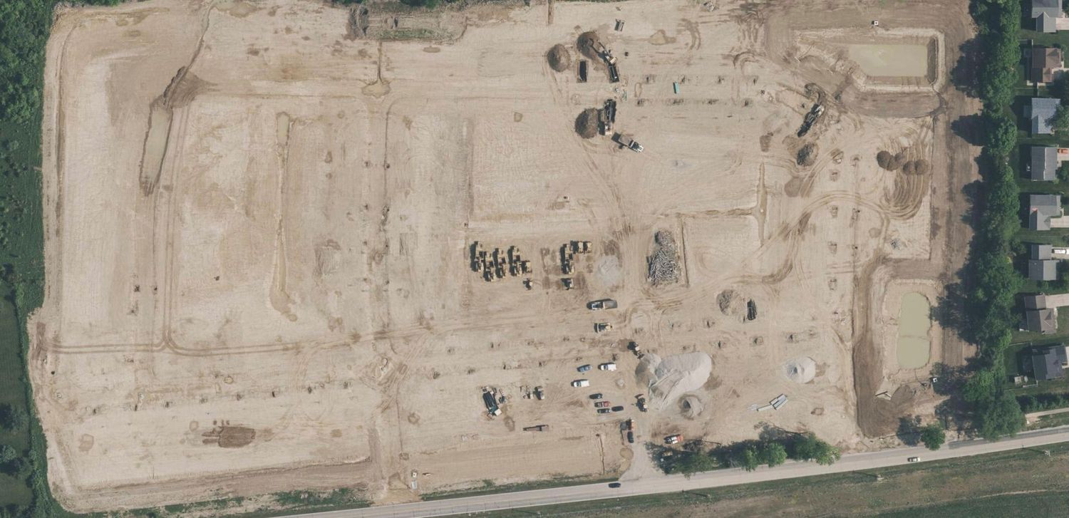
April 24, 2024 | Excavation Begins
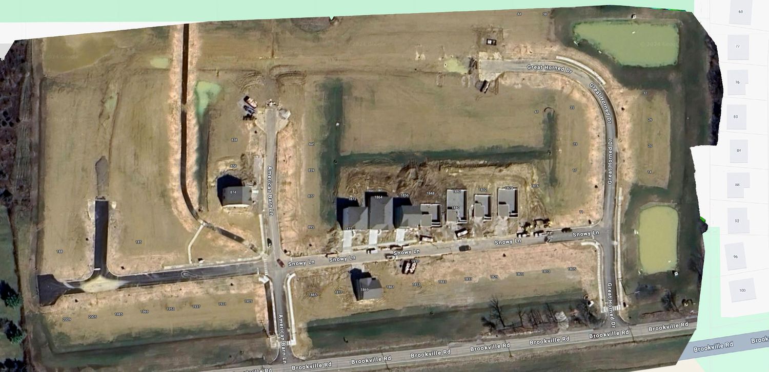
June 20, 2024 | Some houses are finished
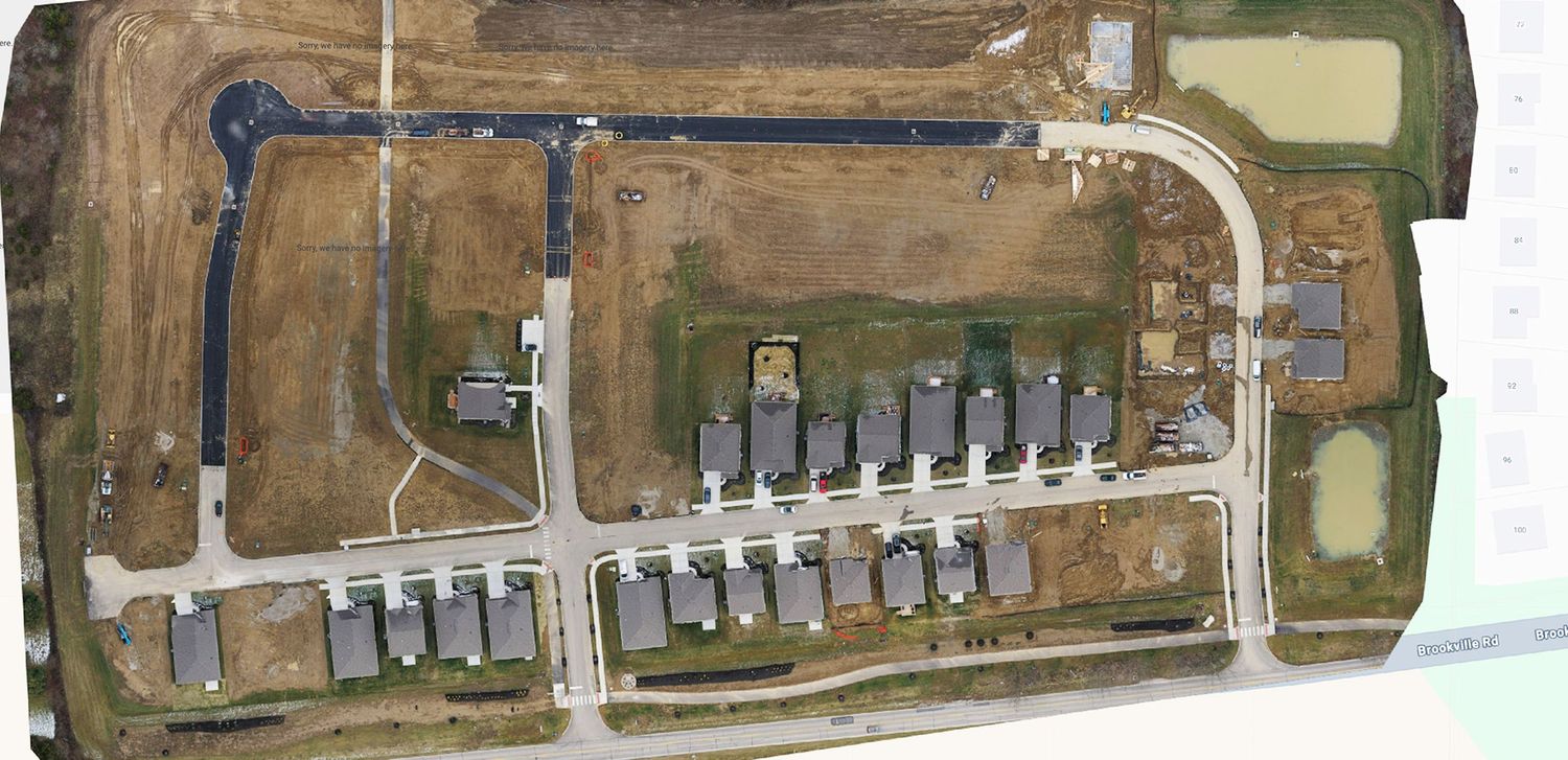
December 23, 2024 | Our Orthomosaic Map
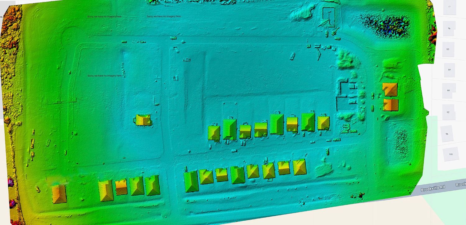
We can also create an Elevation Map
See the results firsthand by controlling the timeline below
Panoramic 360º Drone Photography
Customized Aerial POI Panos
Aerial 360º Panoramic photos provide a great "fixed" point of interest, in which you can get a better feel for the progression of your construction project. Locations for different panoramas can be tailored to your needs and will be linked within the viewer to other panoramic sites. Get an elevated view of your construction progress.
We can build you a 3d Model
Project Site Photogrammetry
This 3d model provides an additional layer of detail and simplicity while viewing elevation and topography, scene layering or if your project needs a quick reference to the appearance of the construction site.
This is a link that will open another window to our customized viewer where you can click & drag to rotate, and pinch in or out to zoom.
Keep in mind that these models are not intended to be high resolution images of the site, just representative.
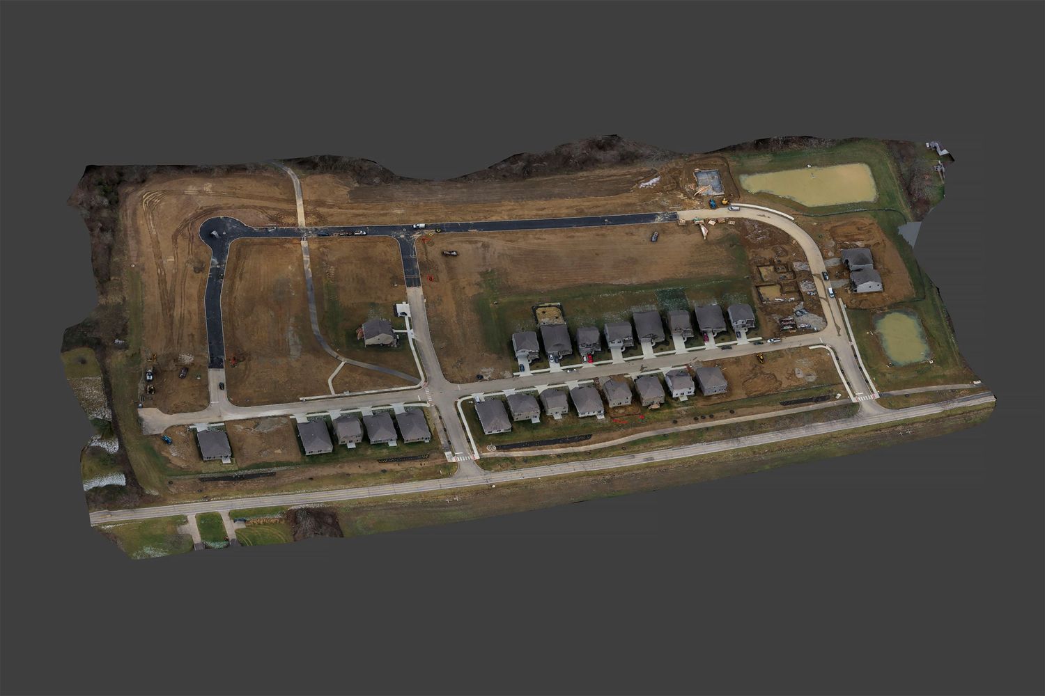
This is the latest 3D Model captured of Owls' Landing on December 23, 2024.